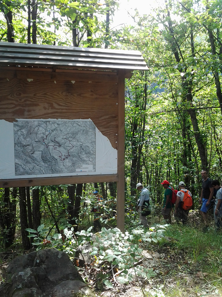
From Bobbio to Coli along the Abbots Trail
The journey begins at the Ponte Gobbo (km 0- alt. 260 metres). After crossing the bridge, turn right onto the asphalted road that starts right slightly uphill, with a couple of corners. After 400 metres there is a sign for Coli (path n. 159). Proceed uphill on a dusty truck, with a green net on the right; after 200 metres, a road sign, on the ground, indicates a path to be taken uphill on the right hand side. Cross a wooden bridge and, after about 500 mt, always climbing on stony path, cross a road, to resume immediately the path; even after 200 metres, you find the paved road: cross it again. After about 500 metres of ascent, you find again, after some houses, the paved road and you have to cross it. Still 400 mt uphill path and, after other houses (Case Bellocchi), turn left.
Proceed on the path for 1.7km, then turn left and after 200 mt, you are in Santa Cecilia (Km 3- alt.685), where you take a path on the right. Proceed for about 700 meters uphill and turn right (where you find the bar restaurant “Pineta”) in Fontana, where you take a path between the houses (then the path becomes grassy ); go up again for about 500 mt, coming up the hill from where you see Coli. The descent is a little steep on stony sling. After 400 mt cross the road taking it right and in a few meters arrived to Coli (5.9 km).
Taken from: “Guida alla via degli Abati”, by Nicholas Mazzucco, Luciano Mazzucco, Guido Mori, edited by Terre di mezzo.
From Coli to Spelonca following the “footsteps of St. Columban”
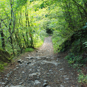
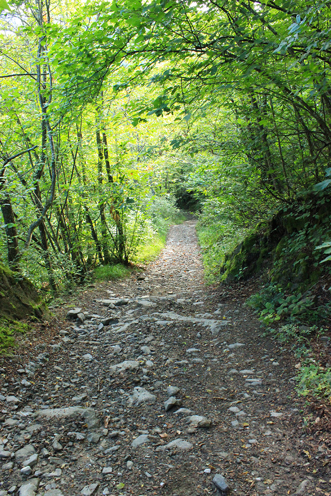
From the square of Coli starts the way (3 km length), which leads to the cave (Spelonca). The first stretch is paved, then proceed on trail and finally on the path in the midst of chestnut forests. The route is marked according to CAI specification (red and white signs).
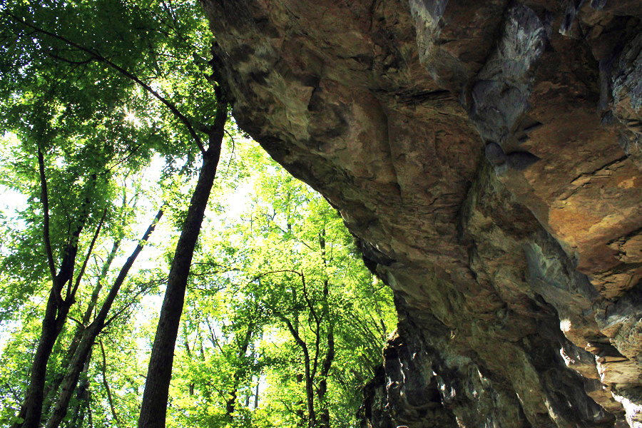
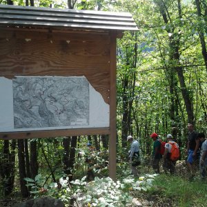
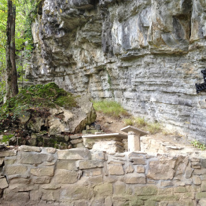
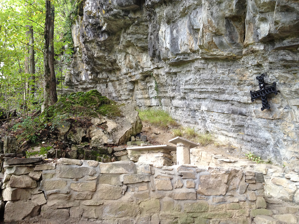
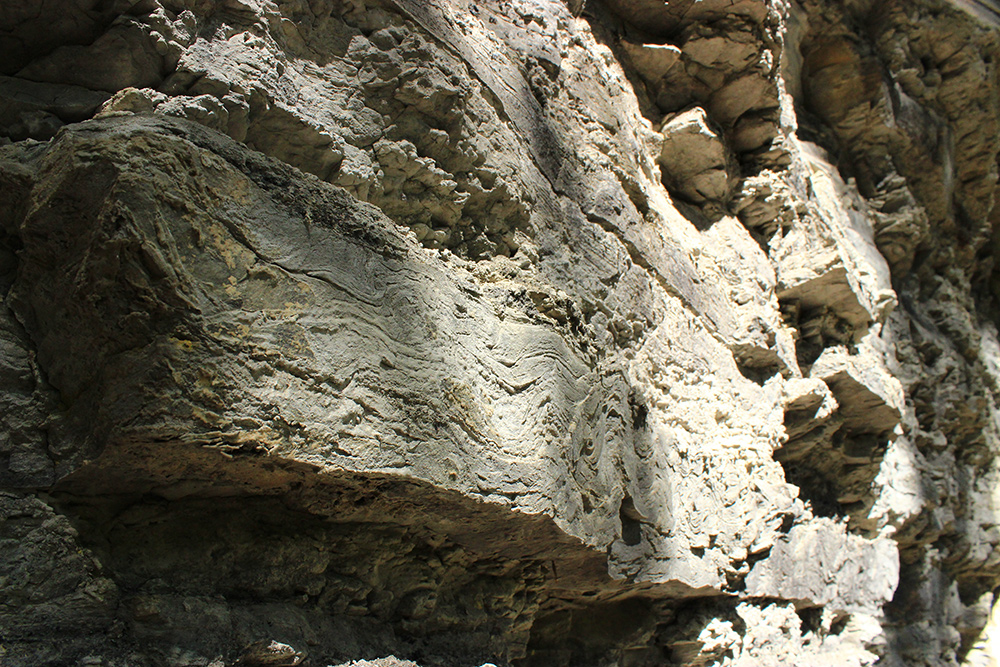
After walking for a few hundred meters, there is a junction with directions to Faraneto, Pontremoli: do not follow them, but go straight, keeping to the right and going over the sports structures of Coli. Then continue on the trail that goes down to the stream Curiasca; crossed a stone bridge, continue on the path, advancing in chestnut forest and start going up until you find the signal “grotta di san Michele- wrote on a stone- a map and a little place with benches and table. Here you leave the road and continue left descending along a narrow path that leads to the rocky ravine. We highly recommend you do not lean against the wooden fence, , and to use the rope placed on the right, for support in the most narrow areas.
Once at the so-called Spelonca, you can continue along the narrow path to a few tens of meters and see the only remaining wall of the ancient church.
To return to Coli, you have to go back following the same road.
-
- Verso il bosco di castagni
-
- Bivio per la Spelonca
-
- La Spelonca di San Michele
-
- La Spelonca di San Michele, particolare
-
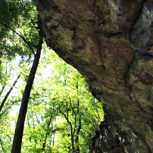
- Spelonca di San Michele